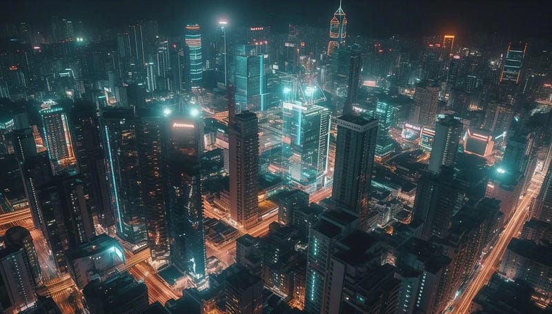
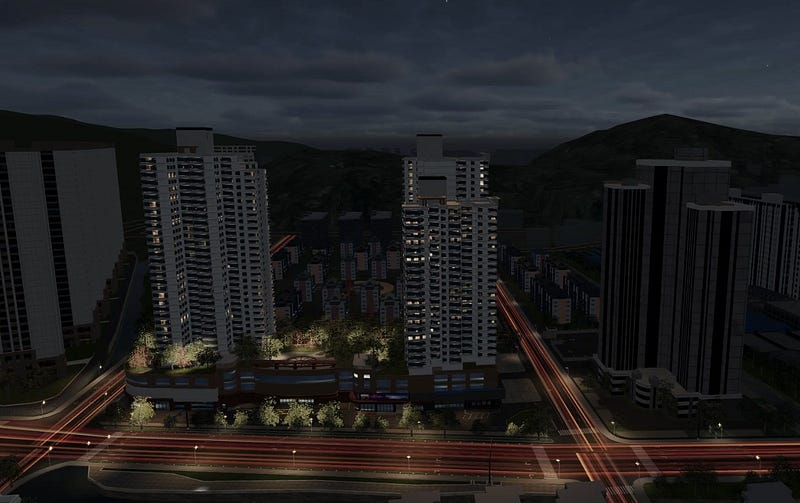
As a country with relatively scarce energy resources, Japan has an urgent need to improve energy efficiency. Using GIS (Geographic Information System) and 3D scene technology, Japan has achieved remarkable results in monitoring and optimizing energy consumption in buildings and cities, providing strong support for implementing energy-saving measures and improving energy efficiency.
The role of GIS and 3D scene technology in energy consumption optimization
Energy consumption monitoring
GIS technology can provide accurate geographic information to help managers monitor the city’s energy consumption in real time. Through the GIS system, energy usage data of buildings can be collected and analyzed to identify high-value areas of energy consumption and potential energy-saving space.

Formulation of energy-saving measures
Combined with 3D scene technology, different energy-saving measures, such as building insulation and lighting optimization, can be simulated in a virtual environment to evaluate their impact on energy consumption. This simulation helps decision makers choose the most appropriate energy-saving solution and reduce energy consumption.
Improve energy efficiency
By combining GIS with 3D scene technology, energy distribution and use strategies can be optimized. For example, in the construction of smart cities, these technologies can be used to achieve intelligent scheduling and management of energy and improve energy efficiency.
Practical cases in Japan Energy-saving renovation of buildings. The Japanese government has launched an energy-saving investment subsidy program to support energy-saving renovation of buildings. Through GIS and 3D scene technology, the energy consumption of renovated buildings can be simulated and predicted to ensure maximum energy-saving effects.

Smart city construction
In Japan’s smart city construction projects, GIS and 3D scene technology are used to create digital twin city models. These models are not only used to monitor and optimize energy consumption, but also cover multiple fields such as transportation and environment, providing strong support for sustainable urban development.
